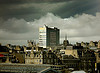
Apparently its a Royal Navy Flag?!?
Its military for sure. Just making a point really...
To post in the forums you will need to first register. All new members are welcomed, with one caveat: You must behave and be nice AND SEARCH BEFORE POSTING!
Moderators: John, Sharon, Fossil, Lucky Poet, crusty_bint, Jazza, dazza
![]() by Pgcc93 » Sat Mar 11, 2006 10:32 pm
by Pgcc93 » Sat Mar 11, 2006 10:32 pm
Mori wrote: couldn't resist photoshopin that pic that you posted up.


![]() by maxpower » Sun Mar 12, 2006 3:07 am
by maxpower » Sun Mar 12, 2006 3:07 am

![]() by Snapshot » Sun Mar 12, 2006 6:54 pm
by Snapshot » Sun Mar 12, 2006 6:54 pm


![]() by radar » Mon Mar 13, 2006 8:55 am
by radar » Mon Mar 13, 2006 8:55 am


![]() by Snapshot » Wed Mar 15, 2006 10:33 am
by Snapshot » Wed Mar 15, 2006 10:33 am
![]() by andy_young » Fri Mar 17, 2006 9:54 pm
by andy_young » Fri Mar 17, 2006 9:54 pm

![]() by Socceroo » Sun Mar 19, 2006 10:20 am
by Socceroo » Sun Mar 19, 2006 10:20 am
![]() by adrianwalker » Tue Jan 09, 2007 5:36 am
by adrianwalker » Tue Jan 09, 2007 5:36 am
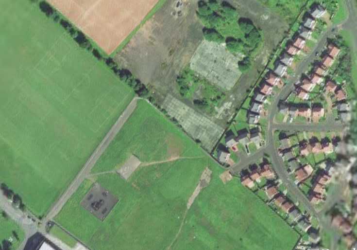
 Although not perfectly aligned and the streets are over-wide on the map, it all fits rather nicely.
Return to Glasgow Chat (Coffee Lounge)
Users browsing this forum: No registered users and 54 guests